Dublin City Council (DCC) has announced the launch of a new augmented-reality (AR) mapping feature that allows users of the Dublin Discovery Trails app to open up a 3D map of Dublin on their device.
‘DiscovAR Dublin’ is a first for Ireland in utilising new open Google Maps technology to form an interactive 3D map where users can also learn more about the history and significance of locations such as the Guinness Storehouse, EPIC - the Irish Emigration Museum and 14 Henrietta Street.
Smart Technologies
The project is a collaboration between the Dublin City Council, Smart Dublin and Virgin Media Business alongside Peel X, who developed the feature for the Dublin Discovery Trails app.
Launched last year, the app is a platform on which the Dublin local authorities plan to develop new immersive experiences combining the real-world history with smart technologies.
Dublin City Council said using new and immersive technologies, such as augmented reality, allow for further unique and tailored customer experiences that will keep the city relevant for tourists.
'World Class Destination'
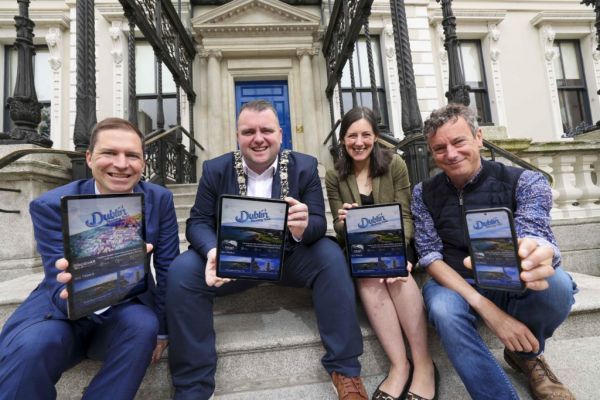
"This innovative technology will help further position Dublin as a world class destination with this new experience," said Lord Mayor of Dublin, Daithí de Róiste.
"I’m delighted to launch DiscovAR here today and I’d encourage everyone to download the app and try it today to explore the best of what Dublin has to offer.”
The Dublin Discovery Trail app is part of a larger Smart Tourism strategy to invest in digital to enhance Dublin’s tourism experience and was developed as part of the new Dublin City Council Tourism Strategy 2023-2028 Innovation pillar.